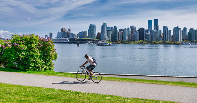

Plan your route with our cycling map
Our cycling map shows all the bikeways and greenways in the city, highlighting the most comfortable routes for people of all ages and abilities (AAA).
Other ways to get a cycling map:
- Pick up a map at City Hall or at your local library and community centre.
- Order bulk quantities of 50 cycling maps or more
Experience the best of Vancouver cycling
Try 1 of 3 bike routes to visit iconic sights, vibrant urban destinations, and natural beauty in the city.
Information icon Journey times don’t include rest stops, so give yourself up to an hour (on top of the estimated travel time) to fully enjoy the ride. Some routes navigate hills or gravel sections, take a look at route descriptions before you ride.
Navigating the cycling map
Plan your cycling trip
Biking in our region
If you ride your bike into or out of Vancouver, view cycling maps from TransLink External website, opens in new tab, the regional transportation agency that operates Vancouver's transit system.
Contact us
Email: walkbikeroll@vancouver.ca
